Fla-shop.com blog
Welcome! In the blog we publish reviews of our products, tips on setting up maps and embedding them in a specific CMS or framework. Here you'll find the most interesting use cases, examples, and step-by-step guides for our HTML5 interactive maps and WordPress plugins.
Best beginners guides
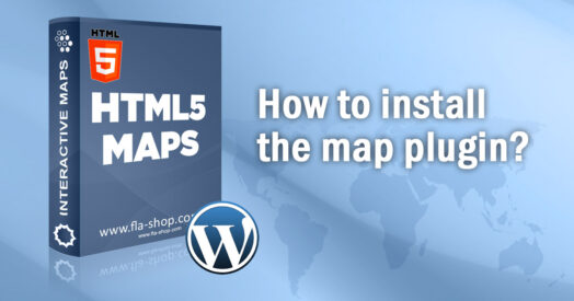 How to install the WordPress plugin from Fla-shop.com?
Jan 01, 2022
How to install the WordPress plugin from Fla-shop.com? This article is a complete review of WordPress interactive map plugin installation. We will make a comprehensive review of the installation process from downloading a ZIP file up to the plugin activation. You can also find short installation instructions for Windows and macOS users in the article.

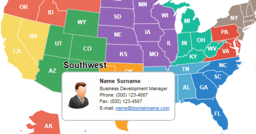 How to Create a Rep Locator Map for Your WordPress Website
Mar 04, 2023
If your company has a wide network in the United States and you're developing a WordPress-based corporate website, you'll need a map that shows the locations of your sales reps. This kind of map provides visitors with information about the managers in each state or region.
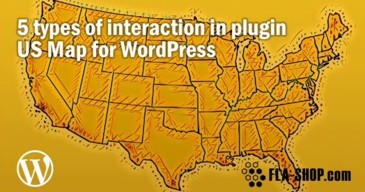 5 Features of the US Map for WordPress Plugin
Feb 14, 2022
In this post, we'll review some real life examples of using an interactive map: displaying content near the map after clicking on a section, displaying tooltips, opening hyperlinks, showing lightbox popups, and showcasing API by launching JavaScript.
Top guides
 How to embed the SVG map into WordPress?
Sep 06, 2023
Have you ever thought about how to embed the SVG map into WordPress? For example, the map with your infographics or a plan of your house? Today with the knowledge of suitable web technologies it is very easy...
 Creating Infographics with the US Map Plugin
Apr 07, 2023
Infographics and data visualization are essential tools for attracting attention to a webpage. Regardless of a website's topic, infographics can impress visitors with vivid visualizations of vast amounts of data.
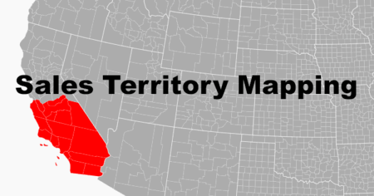 Sales Territory Mapping: Strategy, Use Cases, and Software
May 23, 2025
In this article, we will explore the benefits of sales territory mapping and how to create an effective sales territory map for your organization.
Latest posts
 Embedded Maps: add interactive maps to any website—without code
Mar 16, 2026
Embedded Maps is a hosted solution for building and publishing interactive maps. In a few clicks, you can customize a map, grab a short embed code, and paste it into any page—no technical skills required.
 The Best WordPress Store Locator Plugins for 2023
Nov 07, 2023
We review the key features, customization options and pricing for the leading WordPress store locator plugins. Discover which solution fits your business needs.
 Best WordPress Plugins for SVG Support in 2024
Jan 19, 2024
WordPress doesn't support SVG files natively. In this guide, we compare the top plugins for adding SVG support to WordPress including SVG Support, Safe SVG, WP SVG Images, and Easy SVG Support. See which one best fits your needs.
How to Create a Rep Locator Map for Your WordPress Website
Mar 04, 2023
If your company has a wide network in the United States and you're developing a WordPress-based corporate website, you'll need a map that shows the locations of your sales reps. This kind of map provides visitors with information about the managers in each state or region.
 Top 10 Google Maps Plugins for WordPress
Aug 17, 2023
Today we will go over the best WordPress Google Maps plugins so that you can figure out which one suits you and your business the most. Best Map Plugins for WordPress You need to decide which WordPress maps plugin you’ll...
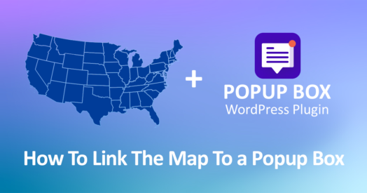 How To Link The Map To a Popup Box
Dec 22, 2022
Today we will see how to integrate popups by Popup Box plugin with the Interactive US map plugin. What is the Popup Box plugin You can easily configure the popup in WordPress using a simple plugin. In this case, we...
Sales Territory Mapping: Strategy, Use Cases, and Software
May 23, 2025
In this article, we will explore the benefits of sales territory mapping and how to create an effective sales territory map for your organization.
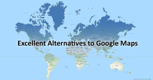 Exploring Google Maps Alternatives for Your Website
Nov 21, 2022
Four great alternatives to Google Maps for any website; these alternatives won’t make a hole in your pocket.
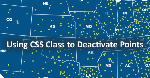 Using CSS Class to Deactivate Points on a Map for WordPress
Oct 04, 2022
This feature may be useful if you use the map as an interactive infographic with a set of points and markers. By default, the points and markers are always active – when you hover over the marker, the tooltip for the state disappears, and the marker’s tooltip and name will appear. If you are using a large number of points, you may experience some tooltips disappearing.