Custom-built Interactive Maps: Starting at $299
If you can't find a suitable map in our library of ready-made geo maps or have specific requirements, we are ready to develop a customized map just for you!
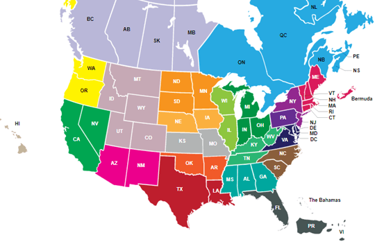
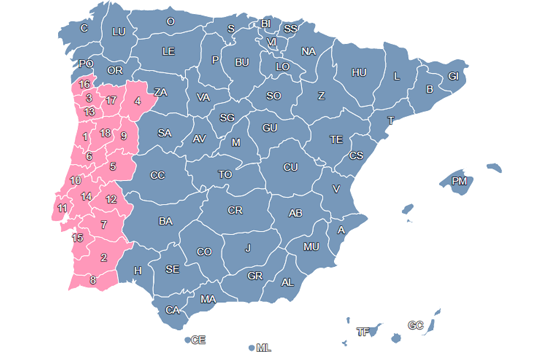
Examples of Custom-designed Maps
Please see our custom work development portfolio for interactive maps below and let us know what you would like, and we will do all our best to make it real! Although the following are mostly geographic maps, we can create any maps you request - a map of the mall, a plan of the exhibition booths, etc.
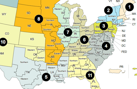
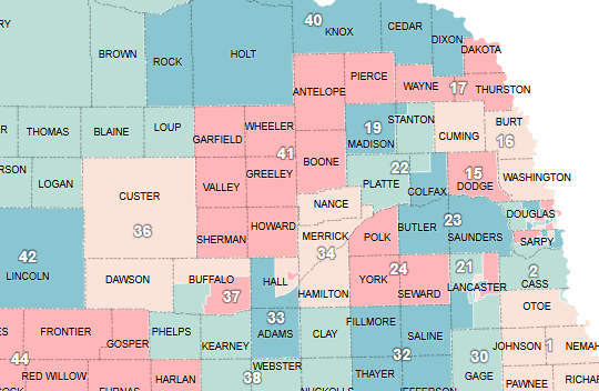
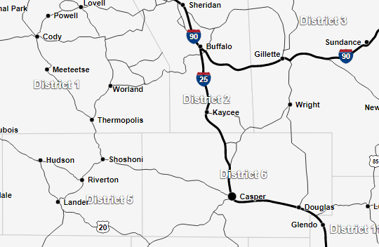
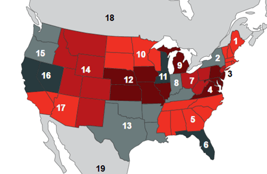
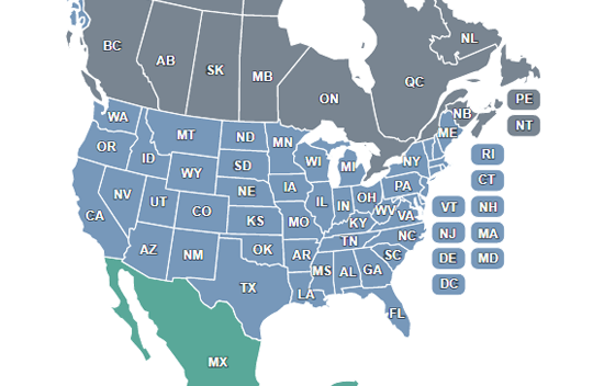
Maps Showing Sales Regions
If you need to split the states and create special regions for your sales rep map, we are ready to design a custom map for you. Examples are below
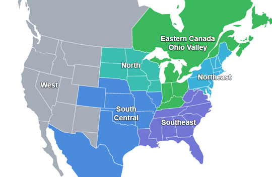

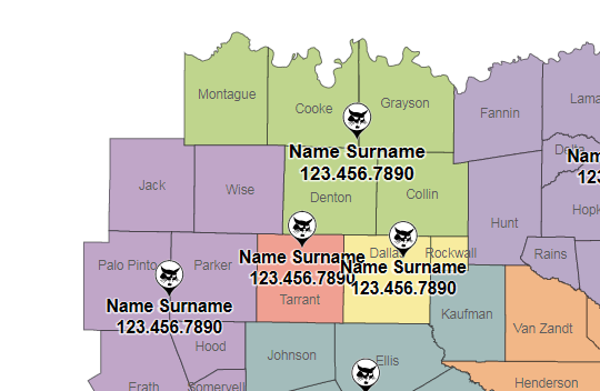
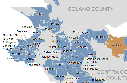
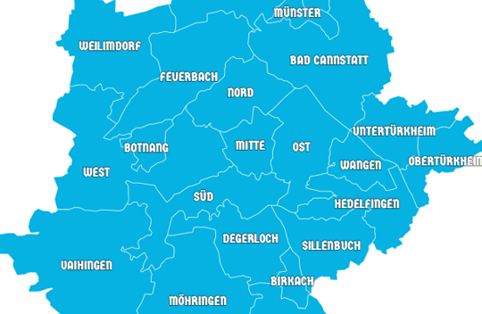
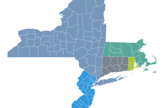
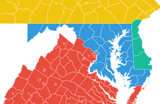
Maps with Combined States and Countries
Below are examples of combined maps, where several countries or states are merged into one map.
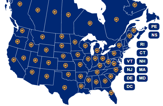
Maps with Custom Icons
Do you want to use the logo as a marker to display locations on the map? We're ready to build custom markers to further personalize the map for your site.