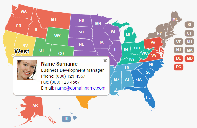
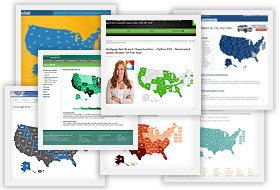
Our maps fit any website and any business. Whenever you need to show the geography of your company and provide users with an easier way to pick a particular office or rep - Fla-shop maps are just the right choice.

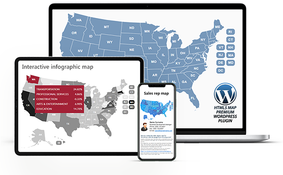
Many of our maps are available as WordPress plugins - an ideal option for your blog or WordPress-powered website. Instant installation and easy configuration. Compatible with any WP themes and Page Builders.
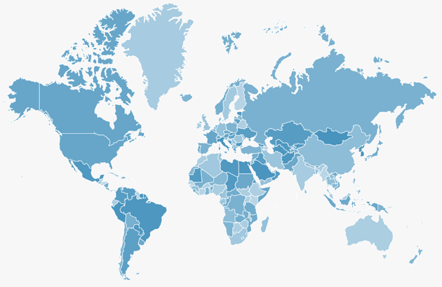
Our maps are 100% compatible with most popular CMSs including Squarespace, Shopify, Drupal, Joomla, and frameworks like Bootstrap, and others. The map can be easily embedded into your website and looks relevant.


Installing the map is easy - a few simple steps, less than 10 minutes. You need no specific skills or knowledge. The configuration and customization of the map are also absolutely effortless.
Whenever you need more flexibility use the map's API and change almost any parameter of the map in runtime! Use event handlers and rich functionality to fulfill all your dreams!

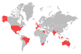
Introducing two new free tools - the visited countries map generator and the visited states map generator. Mark the states or countries you've visited and share the map on social networks.
Free WordPress plugins are available for download for maps of U.S. regions.
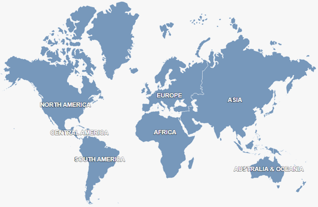
Try customising the Interactive World Map or editing the US map in the new online editor.