Features
WordPress
HTML5
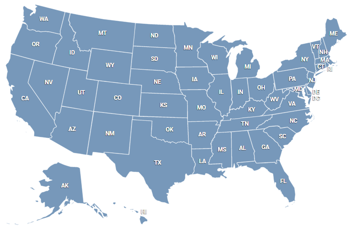
Bring an engaging, interactive Ohio map to your WordPress site. No coding knowledge required to set up our plugin. Works perfectly with any theme or page builder. Customize the map quickly and simply. Edit tooltips, links, colors, markers and more in a few clicks. Key features include:
- Ohio county map
- Responsive and mobile-friendly
- Pop-ups on hovering
- Adjustable colors of the map
- Customizable click behavior
- Can display additional information below or right of the map
- Grouping counties into regions
- Builds into any WordPress page or post as a simple shortcode
- No coding required!
Enhance your website with an interactive Ohio County Map. Quick and easy installation: Upload the JS/CSS files and embed HTML code. Tailor your county map using the online editor, a customization file, or dynamic settings.
- Interactive Map of Ohio counties for websites
- SVG-based vector map
- Works on iOS, Android and all desktop browsers
- Responsive or static size
- Change colors, links, popup tooltips
- Visual editor of counties/points settings
- JavaScript API
List of counties
- Adams
- Allen
- Ashland
- Ashtabula
- Athens
- Auglaize
- Belmont
- Brown
- Butler
- Carroll
- Champaign
- Clark
- Clermont
- Clinton
- Columbiana
- Coshocton
- Crawford
- Cuyahoga
- Darke
- Defiance
- Delaware
- Erie
- Fairfield
- Fayette
- Franklin
- Fulton
- Gallia
- Geauga
- Greene
- Guernsey
- Hamilton
- Hancock
- Hardin
- Harrison
- Henry
- Highland
- Hocking
- Holmes
- Huron
- Jackson
- Jefferson
- Knox
- Lake
- Lawrence
- Licking
- Logan
- Lorain
- Lucas
- Madison
- Mahoning
- Marion
- Medina
- Meigs
- Mercer
- Miami
- Monroe
- Montgomery
- Morgan
- Morrow
- Muskingum
- Noble
- Ottawa
- Paulding
- Perry
- Pickaway
- Pike
- Portage
- Preble
- Putnam
- Richland
- Ross
- Sandusky
- Scioto
- Seneca
- Shelby
- Stark
- Summit
- Trumbull
- Tuscarawas
- Union
- Van Wert
- Vinton
- Warren
- Washington
- Wayne
- Williams
- Wood
- Wyandot