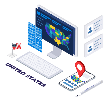
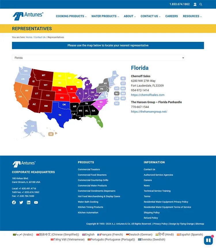
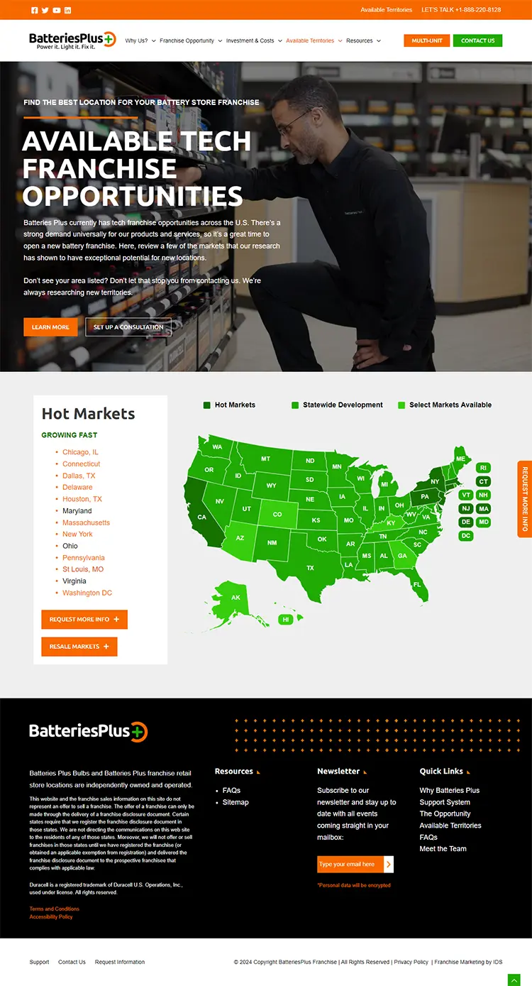
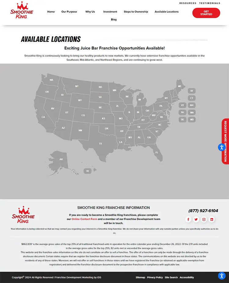
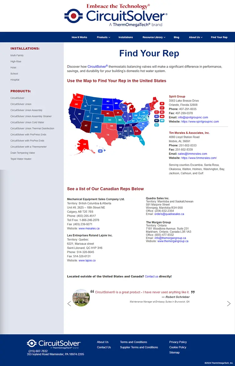
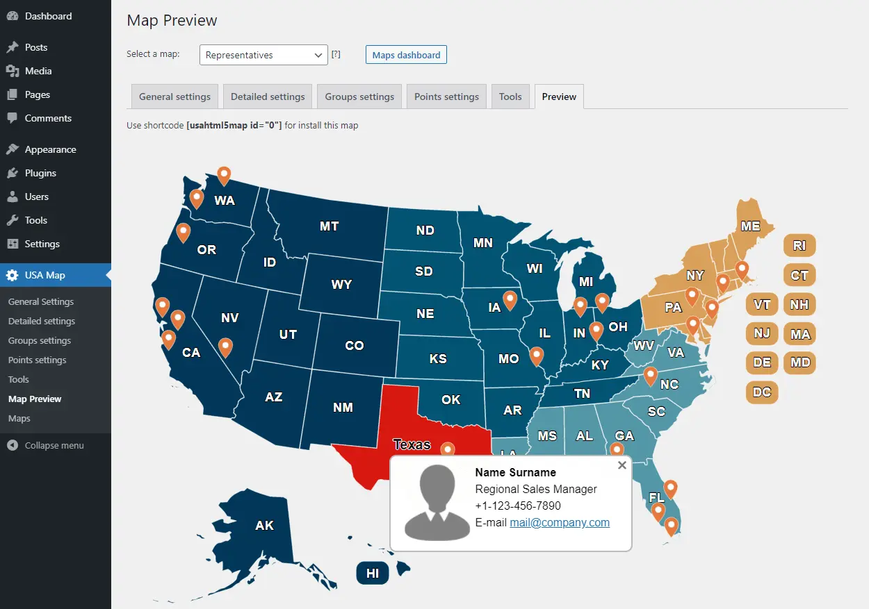
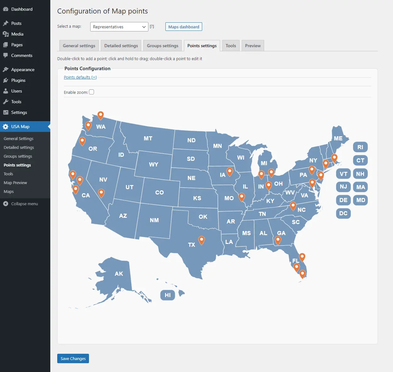
This interactive, high-quality map of the USA is clickable, allowing it to provide geo-related information to your site visitors. The map is an essential addition to any US company – from startups to enterprises. Some applications include:
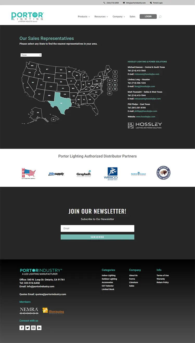
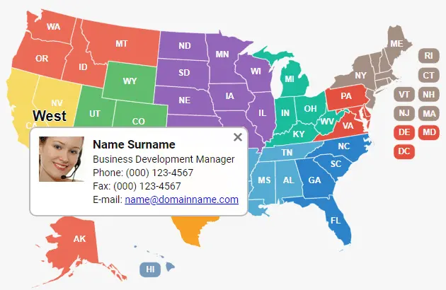
- Sales Regions/Dealers/Representatives Map
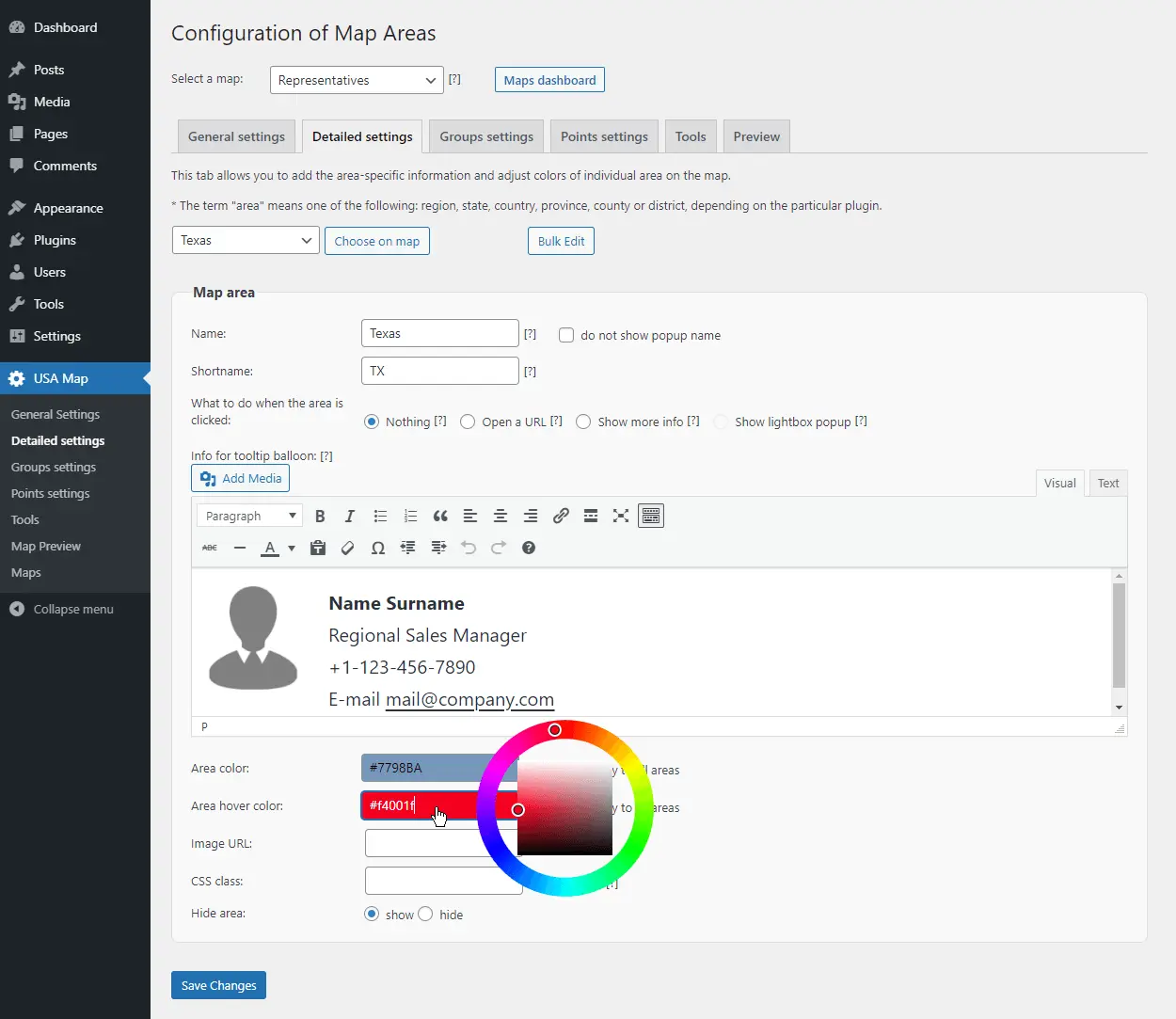
Display your representatives’ contact information by state or region
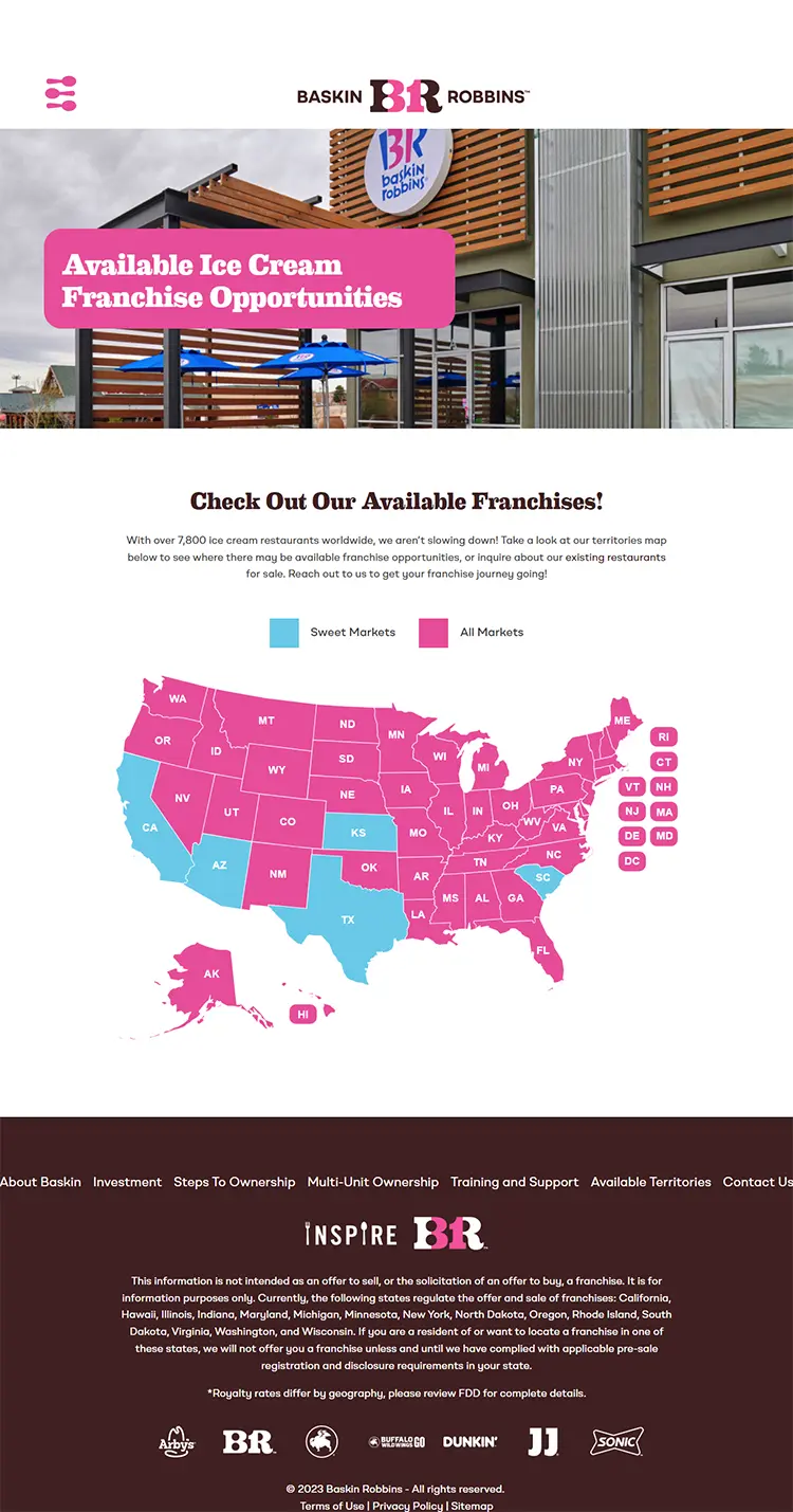
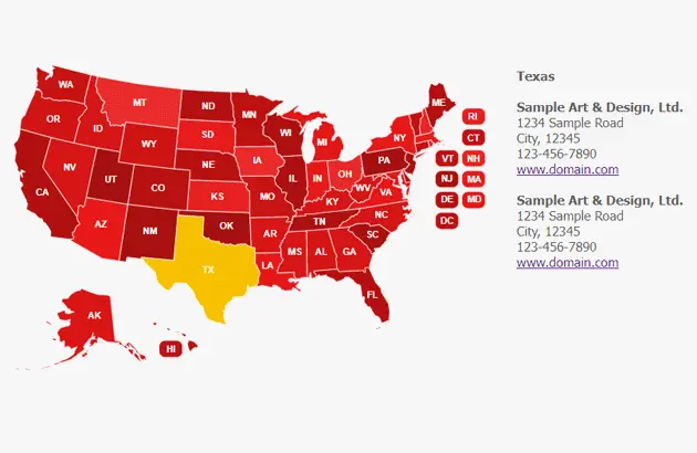
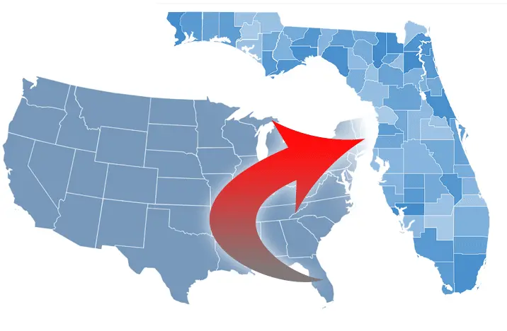
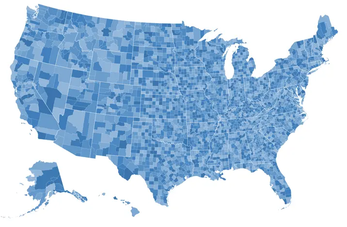
- Data Visualization/Interactive Infographics – Our map visualization conveys information effectively.
Create a heatmap or intensity map, or show popular rates, demographic information, election results, etc.
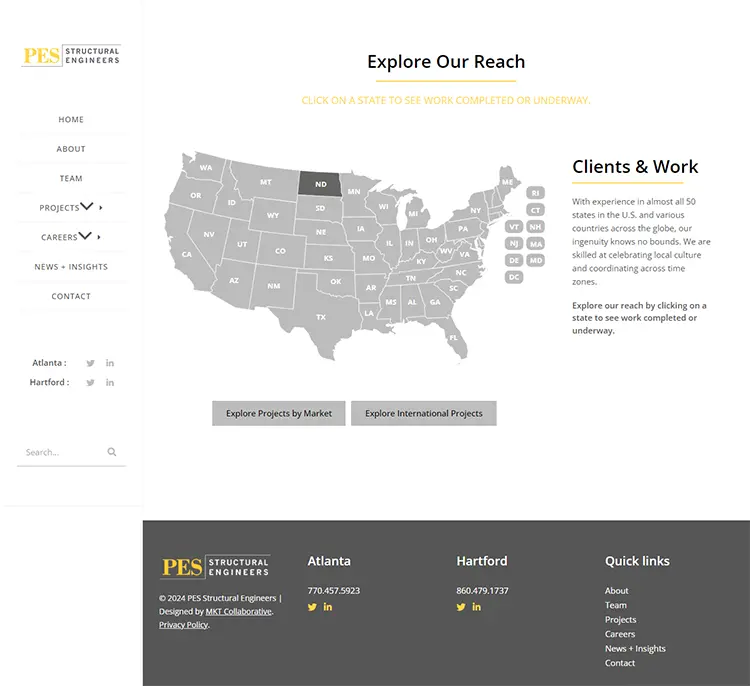
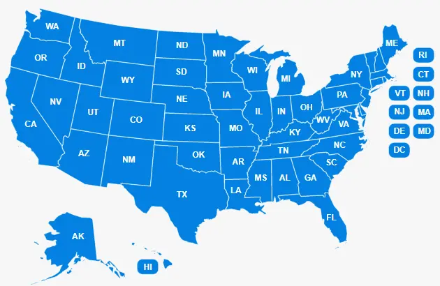
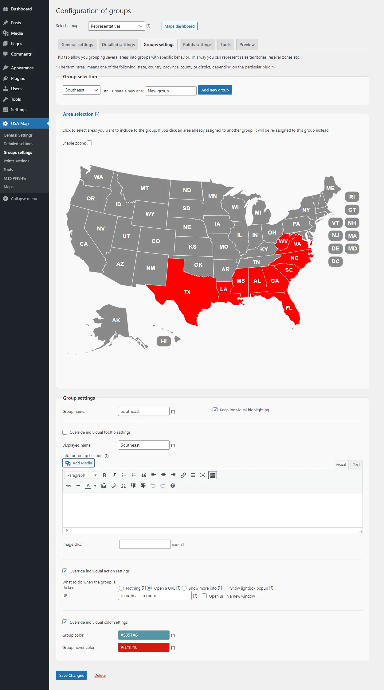
- Website navigation
Add links to any state or marker. For directory sites, use the map as a menu; populate it with links to local state pages.
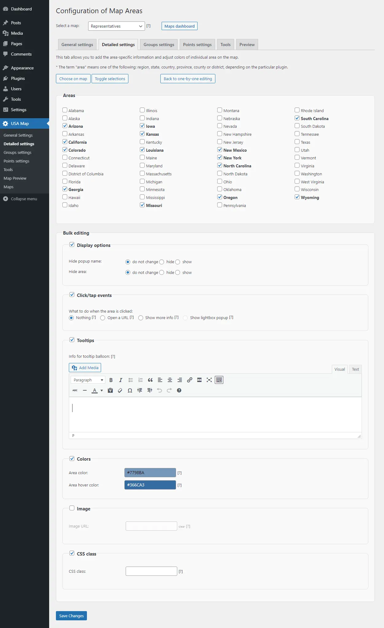
Our US Interactive Map is not just an SVG image map – it’s much more!