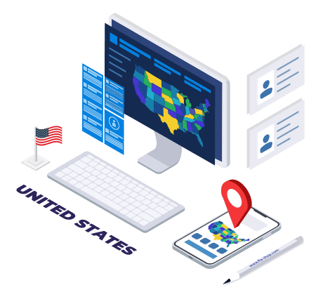
Map Usage Applications
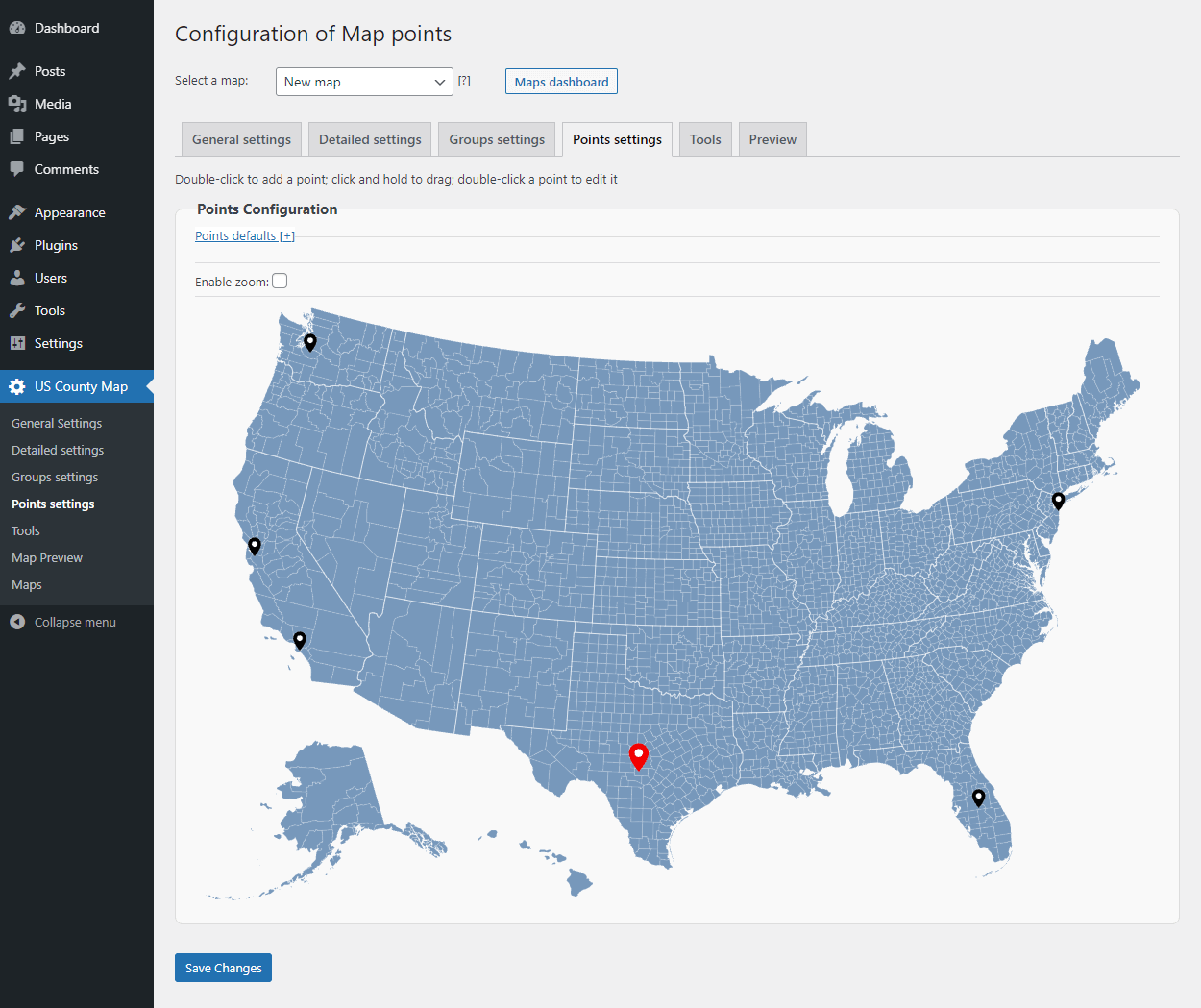
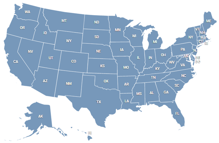
Our interactive, high-quality map of US counties enables you to create various regions across the nation. Each region and county are clickable, allowing them to give your site visitors geo-related information. This map is an essential addition to any US organization, no matter the size or industry. Some applications include:
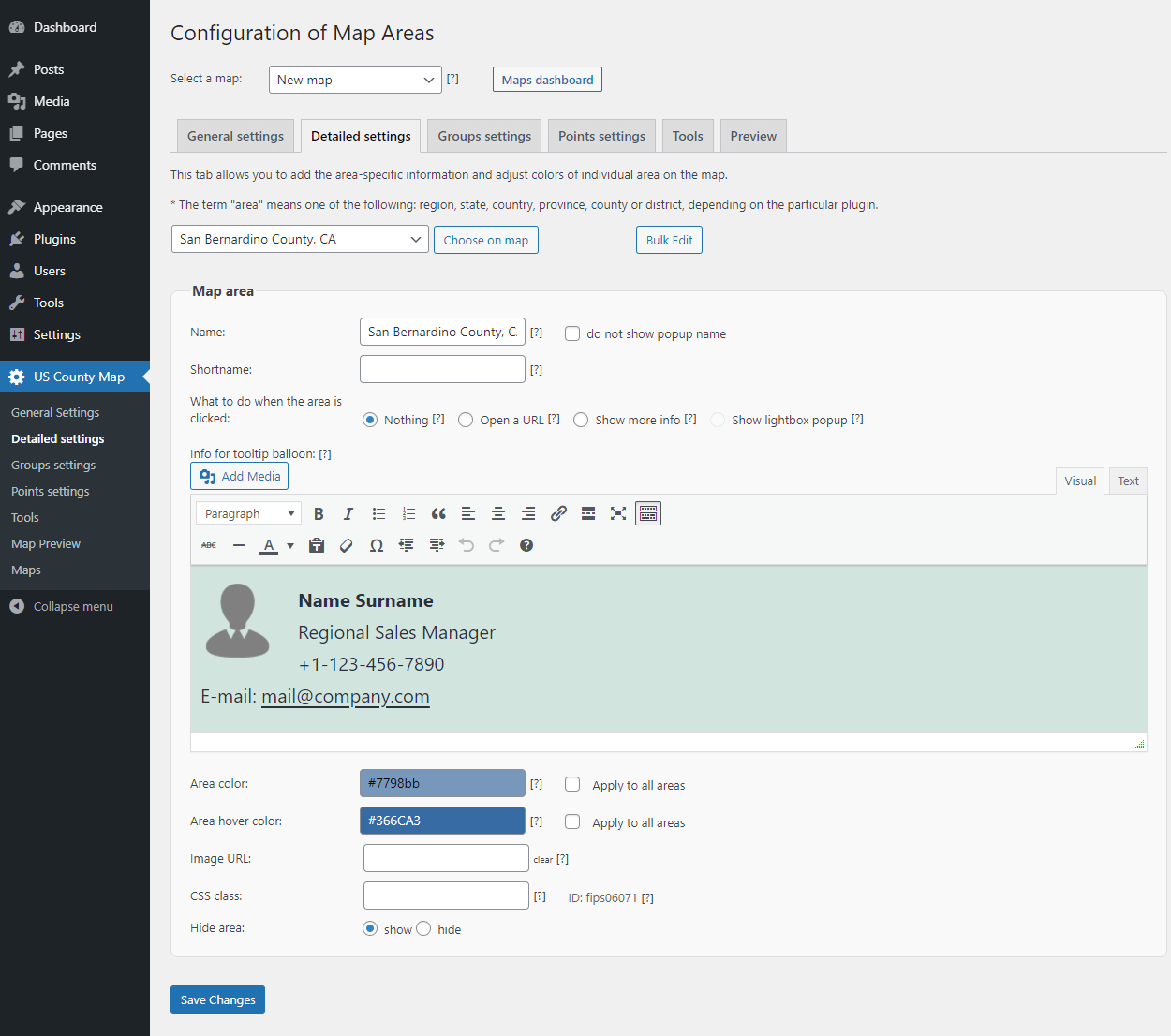
- Sales representative map: Display your representative's contact information by county or region.
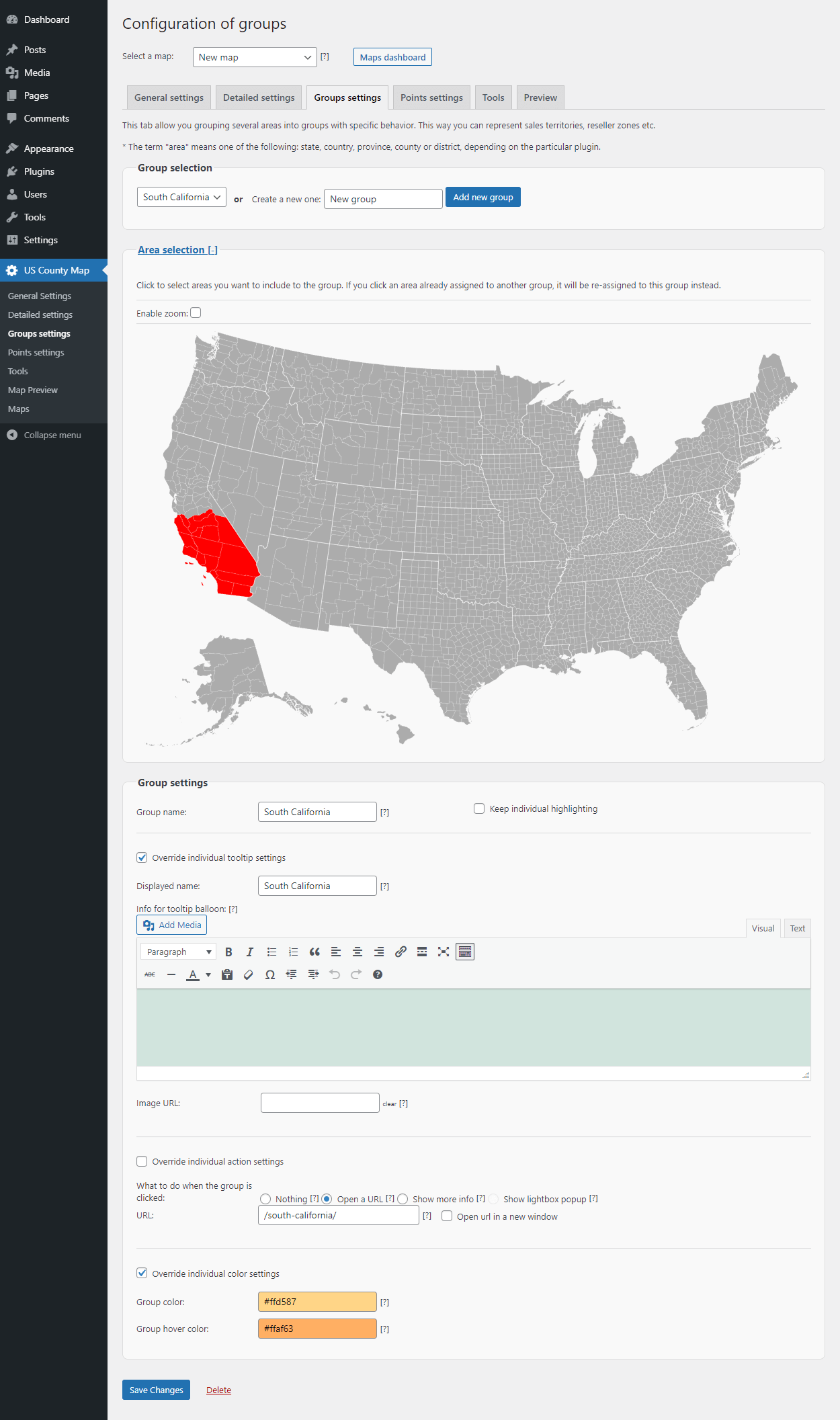
- Sales territories: If you use custom sales territories based on demographics or other information, visualize it on an interactive map.
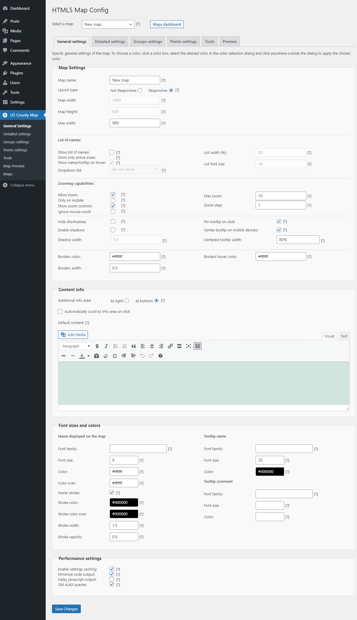
- Website navigation: Add links to any county, region, or marker.
- Infographics: Real estate prices, average income, illness rates, etc.