Free Maps and Tools
Free Map Plugins for WordPress
We offer several free plugins for WordPress with interactive maps.
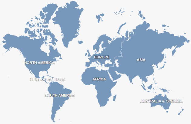
HTML5 Maps for WP
The HTML5 Maps plugin for WordPress offers the following features
- More than 250+ maps in set, including the World map
- SVG-based clickable maps
- Customizable colors, links, tooltips, etc.
- Mobile-friendly maps supporting all devices
- Embedding maps with shortcodes
- Compatible with any WP themes
Terms of use of the HTML5 Maps plugin
The map is powered by the Fla-shop library, and the license of the library requires the map to display a link "Map by Fla-shop.com" which cannot and should not be removed or hidden.
In order to remove the link, you should use the Premium plugins that don't require the map to display the link and provide additional functions as well.
You are not allowed to re-sell, re-distribute, lease or sublicense this software without explicit written permission by Fla-shop.com.
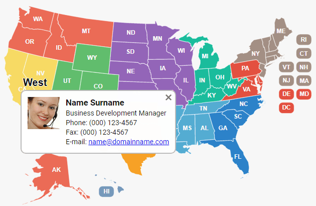
Interactive US Map for WP
The Interactive US Map plugin for WordPress allows you to install a colorful map with rich customization options on any WordPress site.
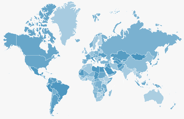
Interactive World Map for WP
The Interactive World Map plugin for WordPress allows you to install a colorful map with rich customization options on any WordPress site.

Online Map Editor
The online editor allows you to customize colors, add markers to more than 100 geographic maps of the world and download the map in PNG format for free.

US Heat Map Generator
Create a US heat map from your own data. Upload or paste CSV data with state names or abbreviations and numeric values to instantly visualize higher and lower values across the United States.

US Counties Map Maker
Create a custom map of US counties by choosing colors for individual counties. Download the finished map as a PNG image or export the color settings for use with Fla-shop US Counties maps.

US Sales Territory Map Maker
Create a custom US sales territory map by assigning states to regions, representatives, or distributors. Add territory names, colors, and contact details, then download the finished map as a PNG or export the settings for use with Fla-shop interactive US maps.

Visited States Map Generator
Mark the states you've visited and share the interactive map with friends in a couple of clicks. Simple navigation and visually-attractive maps are guaranteed!

Visited Country Map Generator
Mark the countries you've visited and share the interactive map with friends in a couple of clicks. Simple navigation and top-notch attractive maps are guaranteed!

Free SVG Maps
Download for free vector outline maps of the World, the US in SVG, PDF, etc.

US Tile Grid Map
Discover the power of our interactive Square Tile Grid Map of the USA for data visualization and infographics. Enhance your website with a free, easy-to-use, and fully customizable map script.

US States Quiz Game
Test your knowledge of US geography by finding all 50 states on the map as quickly as you can. Track your time and mistakes, learn from wrong answers, or embed the quiz on your own website for free.