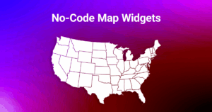
5 Features of the US Map for WordPress Plugin
In this post, we’ll review some real-life examples of using an interactive map: displaying content near the map after clicking on a section, displaying tooltips, opening hyperlinks, showing lightbox popups, and showcasing API by launching JavaScript.
All of these features are included both in the Interactive map of the United States plugin for WordPress and in other maps that are provided on our website.
Below are some examples of the various functions Fla-shop.com maps have to offer; feel free to test their functions for yourself.
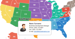
The following example displays information next to the map
Click on any of the states to display customizable content near the map.
Display Tooltips When Hovering Over a Section
Hover your mouse over any one of the states to display the customizable tooltip popup. If you click on the state, the tooltip window will become fixed, allowing you to click on the links inside.
Try out this Map with Hyperlinks in Each State
In this example is a map with each state having its own assigned hyperlink. When you click on a state, you will be taken to a new page that has that state’s corresponding larger map plugin. Those links can be modified to your choosing.
Try Out Our Lightbox Popups
If you want to display lightbox popups, try clicking on one of the States below; you can use a free Popup Builder plugin to create your own popups.
Use the API to launch JavaScript
You can launch JavaScript yourself by hovering over or clicking on any state. Try it for yourself and see how easy it is:
Our Premium maps all have API, so web developers can create and customize the map features; for instance, you could log your webpage activity, track mouseover and clicking events, etc.
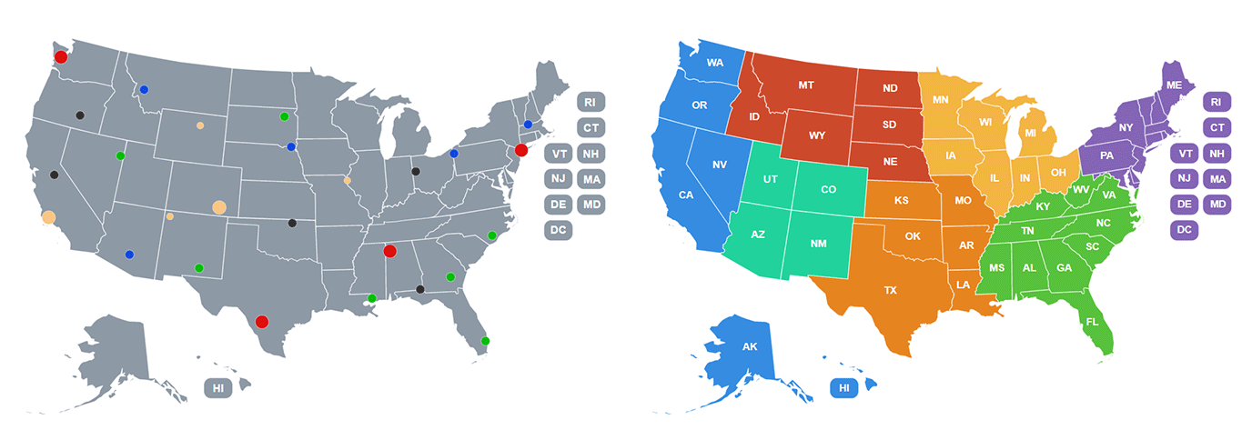
How can the API be useful? For example, this interactive state map uses the API to interact with the list of states.
Other Opportunities
Are you looking for more possibilities? You don’t need to be confined by state boundaries. All of the interactive approaches shown above can be used for pinpoint locations, regions, districts, etc, using any of our map plugins. You could show all of your offices, display your global market regions, or even display a dynamic inventory of each territory. All of which can improve your website’s attractiveness, raise your clients’ awareness, and even lead to increased engagement.
Try it for free today!
The interactive examples in the above post show some of our plugin’s capabilities. You can download the free demo version and try all the options on your website. If you or your clients like it, you can easily transfer all the settings into the full version! You don’t need to create the settings of the map again. We are sure that all of our plugins will substantially improve your website and allow you to attract more users.