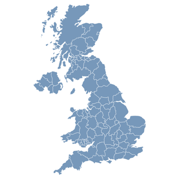
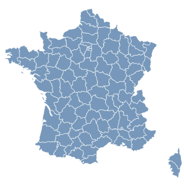
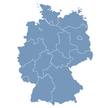
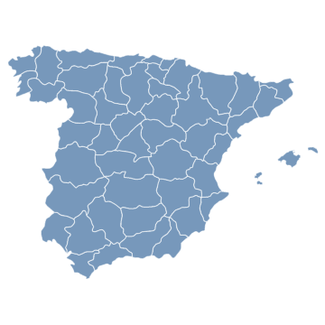
Products. Interactive Maps for websites
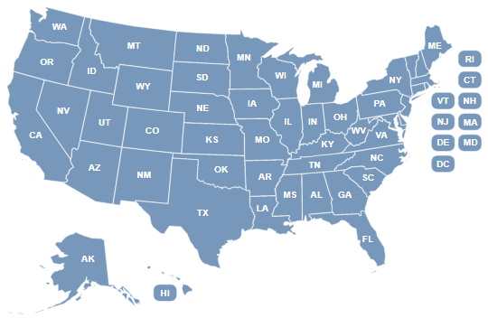
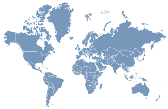
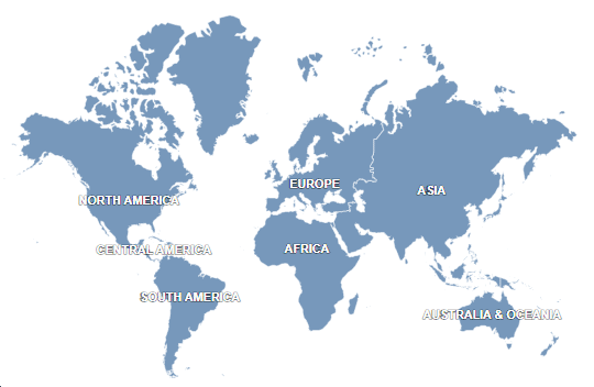
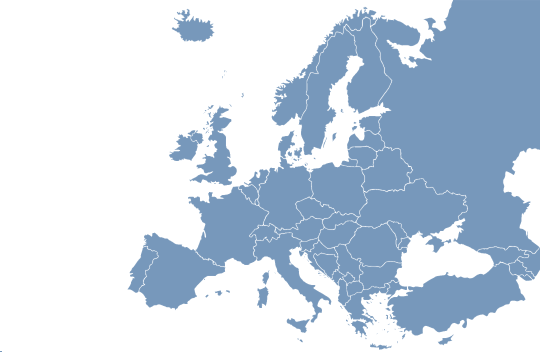
Wouldn't it be great to have an interactive map on your website that allows you and visitors to explore and discover different aspects of your company? Interactive maps can help you easily show geo-related information like contact details, local franchises, and even trips. Meet over 100 maps for free and premium, with a multitude of features available.
WordPress Map Plugins
Simple and functional plugins for WordPress with customizable maps through a visual interface. No coding required!
Embedded Maps
Create interactive, customizable maps and embed them into any website — no file uploads or plugins required. Ideal for platforms like Wix, GoDaddy, Weebly, or custom-built sites.
HTML5/JavaScript Maps
Clickable maps for Joomla, Drupal, Squarespace, Shopify and other websites. Easy installation and configuration!