Fla-shop.com blog - Page 3
Welcome! In the blog we publish reviews of our products, tips on setting up maps and embedding them in a specific CMS or framework. Here you'll find the most interesting use cases, examples, and step-by-step guides for our HTML5 interactive maps and WordPress plugins.
Latest posts
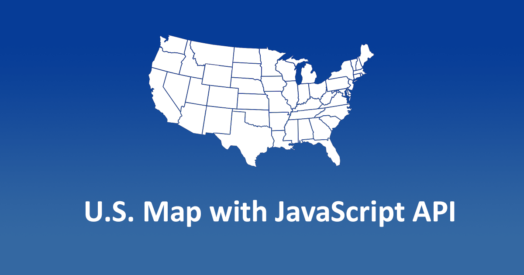
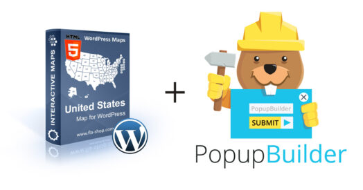 Integration of Interactive US Map with the Popup Builder plugin for displaying popups
Nov 16, 2022
In this article, we will carry out a step-by-step integration of our Interactive US maps with the free Popup Builder plugin. Interactive maps from Fla-shop.com - a great way to increase the user engagement on the site.

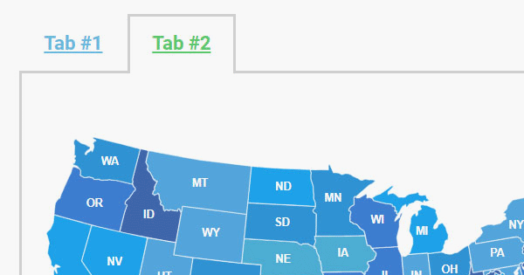 Easily Display Maps in Tabs Using the Tabs Maker Plugin
Nov 16, 2022
The display of tabbed maps with Tabs Maker is a simple and user-friendly solution that does not require additional coding.
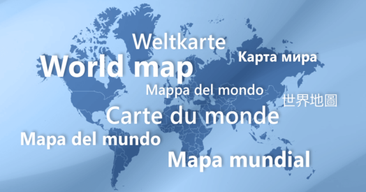 How to Make a World Map with Localized Country Names
Nov 18, 2022
This tutorial explains how to build a world map with country names in your local language: French, German, Italian, Spanish, Portugal or Portugal. These are languages supported by our World Map for WordPress thanks to free language packs.
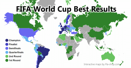 Creating an Interactive Map of FIFA World Cup Best Results
Nov 18, 2022
World Cup 2018 has started! And to celebrate this, we’ve came up with a guide on creating an interactive infographics that displays the best result countries ever achieved in FIFA World Cup. Starting from scratch, the entire process takes as little as 15 minutes.
 Adding Custom JavaScript to the Map Plugin
Nov 19, 2022
As of version 2.9.9.6, our WordPress map plugins support a new advanced feature. Now you can add custom JavaScript code to the map. This code executes after the map is drawn and has access to most of map’s properties. Thanks to this feature you can implement all kinds of interactive behavior previously impossible or hard to do.
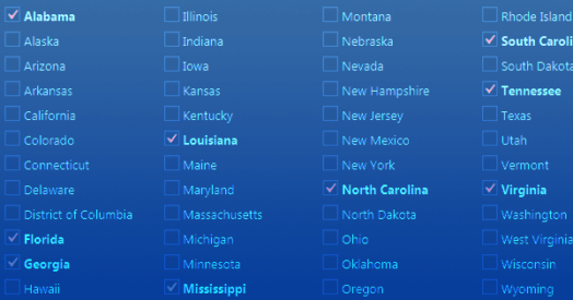 Bulk Edit feature of USA Map plugin for WP
Mar 06, 2023
If you are running a business website on WordPress, and you have a wide network in the USA, then you must consider using an interactive USA Map plugin to provide all the information to your visitors. Recently, a new feature has been introduced in the plugin that will allow you to do bulk editing for multiple states at a time.
 Review of the US Map for WP. Part 5: Points settings
Nov 22, 2022
Each interactive map from Fla-shop.com has the capability to add the points to the map. What is a point? The point is the special place on the map that can be provided with any necessary information. Do you want to know more?
 Review of the US Map for WP. Part 4: Groups settings
Nov 22, 2022
First of all, Grouping is a powerful feature of the US interactive map WordPress plugin from Fla-shop.com. As follows, it allows you to set the same parameters to several states grouped into one or more groups. For example, this feature is useful when you want to display any statistical data on the map or to show the departments structure of your company.
 Review of the US Map for WP. Part 3: Detailed settings
Nov 22, 2022
Firstly, the "Detailed settings" section allows adding the specific information for each US state. Secondly, you can customize the state color and other settings there.