Fla-shop.com blog - Page 4
Welcome! In the blog we publish reviews of our products, tips on setting up maps and embedding them in a specific CMS or framework. Here you'll find the most interesting use cases, examples, and step-by-step guides for our HTML5 interactive maps and WordPress plugins.
Latest posts
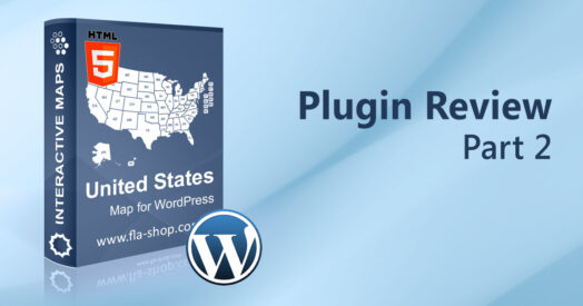 Review of the US Map for WP. Part 2: General Settings
Nov 22, 2022
The "General settings" tab allows the website administrator to set up the main settings for WordPress interactive map, such as map name, width, zooming, etc. So, this article is a comprehensive review of each general map setting.

 Review of the US Map for WP. Part 1: Maps list. Backup of settings.
Nov 22, 2022
For one thing, this section allows creating and deleting maps, making backup, and import/export map settings.
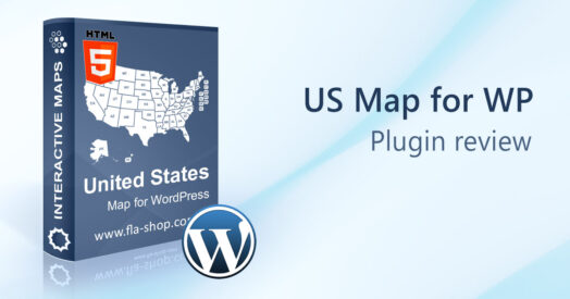 WordPress US Map Plugin: Complete Overview
Jul 28, 2026
First of all, this article opens a series of articles devoted to a comprehensive review of the US map plugin for WordPress options and possibilities. Each article will cover one option block.
 U.S. Map with All Cities for WordPress Website
Nov 19, 2022
We found a quick solution to this problem. One of our clients wanted to add all the cities of the USA to the map and that these very cities would have had clickable links that would lead to different pages...
 Try-for-free Customizable US Map
Nov 24, 2022
Usually, buyers of standalone software have an opportunity to download a demo/trial version to take measures of the product. Nevertheless, our customers are not an exception and we always offer them the downloading of the demo version to estimate our product.
 How to embed the SVG map into WordPress?
Sep 06, 2023
Have you ever thought about how to embed the SVG map into WordPress? For example, the map with your infographics or a plan of your house? Today with the knowledge of suitable web technologies it is very easy...
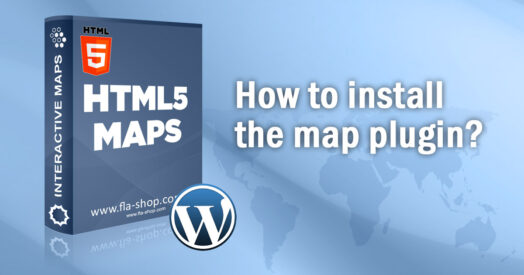 How to install the WordPress plugin from Fla-shop.com?
Jan 01, 2022
How to install the WordPress plugin from Fla-shop.com? This article is a complete review of WordPress interactive map plugin installation. We will make a comprehensive review of the installation process from downloading a ZIP file up to the plugin activation. You can also find short installation instructions for Windows and macOS users in the article.
 Examples of Using the Map of Australia on Websites
Nov 24, 2022
An interactive map of Australia from Fla-shop.com is a plugin for WordPress-powered websites that allows placing geographical-related content into a corporate or standalone website with just a few clicks. In this article, we collected 10 inspirational examples of the Australia Map plugin for WordPress.
 Creating Infographics with the US Map Plugin
Apr 07, 2023
Infographics and data visualization are essential tools for attracting attention to a webpage. Regardless of a website's topic, infographics can impress visitors with vivid visualizations of vast amounts of data.